Quick answer
Download your approved maps before departure, then test them with Wi-Fi and mobile data switched off. Check the whole access route and work area, required layers, map updates, coordinate settings and location display. Pack an approved backup and a power plan. A downloaded map does not guarantee an accurate position, establish a legal boundary or replace navigation skills. Official guidance supports offline testing, physical map backups and checking location accuracy. (doc.arcgis.com)
This guide is for beginning field technicians and crew leaders preparing for work in areas with unreliable mobile coverage. It uses Google Maps and ArcGIS Field Maps as examples—not as substitutes for your employer’s required tools or site procedures.
1. Match the offline map to the job
Start by asking your supervisor: “Which map is approved, and what must I be able to do without a connection?”
Separate the journey to the site from the work itself. Finding a parking area, locating an assigned monitoring point and recording an inspection are different tasks. Make a short list of the functions you need before downloading anything.
For road travel, Google Maps can guide you offline when the entire route lies within the downloaded area. However, its offline mode does not provide walking, cycling or transit directions. Offline driving also lacks traffic information and alternate routes. Do not assume a road-navigation download will support walking navigation around a field site. (support.google.com)
ArcGIS Field Maps supports downloaded project maps prepared for offline use. These can support field observations and inspections, but offline place-name and address searches require a data connection. Test the particular project functions you need rather than treating “offline” as a promise that everything works. (doc.arcgis.com)
For every crew device, confirm:
- The approved app and project map.
- The correct account and access permissions.
- Whether the task requires viewing, navigation, editing or attachments.
- Who can resolve a missing map or failed download before departure.
Esri’s testing guidance specifically identifies account sharing and editing permissions as possible reasons a map or collection function is unavailable. (doc.arcgis.com)
2. Download the access route, work area and useful detail
Do not draw the download area tightly around the assigned points. As a planning check, include the approved approach, parking or staging location, work area, return route and any supervisor-approved alternative access.
There is no universal buffer distance that suits every field assignment. Ask the crew leader how far the day’s work might reasonably extend and what to do if an assignment moves outside the downloaded area.
For Google Maps on Android, the documented workflow is:
- Open your profile menu.
- Select Offline maps.
- Choose Select your own map.
- Adjust the download rectangle.
- Select Download.
Check that the complete driving route fits inside that rectangle. (support.google.com)
For organizational GIS work, ask whether a prepared offline area already exists. Esri recommends preparing areas ahead of time where possible, partly to reduce mistakes involving the wrong geographic extent or insufficient detail. (doc.arcgis.com)
After downloading, inspect the map at both overview and working scales. Check labels, symbols, assigned features and any required attachments. Esri recommends testing visibility at different scales and checking that needed content is present. (doc.arcgis.com)
Common mistake: seeing the background map and assuming the project is ready. Treat the basemap, work features and supporting information as separate items to verify.
3. Check updates—and distinguish download date from data age
Before departure, check the downloaded map’s update or expiry status. Google Maps requires offline areas to be updated before they expire; automatic updating is available, but you should still inspect the download you intend to use. (support.google.com)
In Field Maps, downloaded content does not immediately reflect changes made elsewhere. Check for updates or sync while connected. A copied mobile map package, or .mmpk, requires manual replacement with an updated file. (doc.arcgis.com)
Keep a simple preparation record:
| Check | What to record |
|---|---|
| Map identity | Project name and downloaded area |
| Device copy | When you downloaded, updated or synced it |
| Source currency | Published revision or data date, if available |
| Access confirmation | Who confirmed the intended entrance and restrictions |
A fresh download is not evidence that every mapped feature reflects current conditions. GPS.gov distinguishes positioning problems from mapping errors, including missing roads and incorrectly drawn maps. (archive.gps.gov)
Ask the supervisor or responsible land manager about access changes. If a source date is unavailable, record “not confirmed” rather than describing the map as current.
4. Agree on coordinate format and reference system
Before anyone exchanges coordinates, agree on the format. Common latitude–longitude formats include:
- Decimal degrees: degrees with a decimal fraction.
- Degrees and decimal minutes: whole degrees followed by fractional minutes.
- Degrees, minutes and seconds: three separate components.
NOAA documentation distinguishes these formats explicitly. Do not copy numbers between differently configured fields without confirming how the receiving tool interprets them. (apps-nefsc.fisheries.noaa.gov)
Also check coordinate order and hemisphere. Label latitude and longitude rather than sending an unexplained pair of numbers. In the signed decimal-degree convention documented by USGS, west longitude and south latitude use negative values. (usgs.gov)
Worked format example: NOAA’s National Geodetic Survey documentation gives latitude 40.75 as equivalent to its compact DMS entry N404500.0—40°45′00″ north. It similarly gives longitude -80.75 as W0804500.0. These demonstrate two representations of the same coordinates, not locations selected for a field assignment. (ngs.noaa.gov)
Formatting is only part of the check. Confirm the project’s coordinate reference system and datum with its GIS lead. In Field Maps, a missing or incorrect datum transformation can misalign locations, and some transformations require files already on the device. Do not guess these settings. (doc.arcgis.com)
5. Treat your location marker as uncertain
A visible location marker is useful, but it is not proof of an exact position. GPS accuracy depends on receiver characteristics and conditions. Buildings, trees and reflected signals can degrade positioning; mapping errors can also make a correctly calculated position look wrong. (archive.gps.gov)
Before leaving, check where your app shows location quality and ask what quality the task requires. Field Maps allows organizations to specify required accuracy and confidence settings. Use the project’s approved settings rather than lowering a requirement to get past a warning. (doc.arcgis.com)
If the location marker conflicts with recognizable surroundings, stop and investigate from a safe position. Do not cross a fence, enter a restricted area or follow a hazardous shortcut merely to reach a symbol on screen.
Mobile maps do not establish legal boundaries. For example, Douglas County, Minnesota, explicitly identifies its parcel database as reference information rather than a survey. Follow the project’s boundary-verification process; do not use a phone marker or parcel overlay as permission to enter land. (douglascountymn.gov)

6. Plan power, backups and communication separately
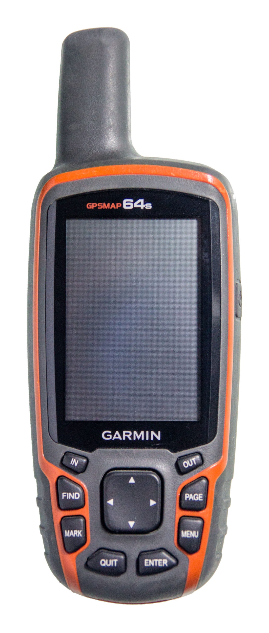
The National Park Service recommends knowing how to use navigation equipment before going out, carrying a physical map backup and packing an extra phone battery. Apply that principle through your employer’s approved equipment plan. (nps.gov)
Before departure:
- Charge the primary device and approved reserve power.
- Test the actual charging cable and connection.
- Pack the approved physical map and compass, where required.
- Confirm who carries any backup receiver or second device.
- Make sure another crew member can use the backup.
Avoid promising a full day’s battery life from an advertised figure or a brief office check. Test your normal workflow and agree on a reserve-power or stop-work decision with the crew leader. The appropriate reserve depends on the device, task and return plan.
Airplane mode can be useful for offline testing and battery conservation; NPS guidance for Acadia suggests it as a battery-saving measure. Use it only when consistent with the crew’s communication plan, and check whether an external receiver connection must remain enabled. (nps.gov)
Map availability and communication readiness deserve separate sign-offs. Share the intended route and schedule with the designated contact, and agree on missed-check-in actions before departure. NPS navigation guidance likewise recommends leaving a trip plan with someone who can act if you do not return. (nps.gov)
7. Run a disconnected rehearsal before departure
Test outside as well as indoors. Esri recommends outdoor map testing because glare and lighting affect usability, alongside checks for labels, scale-dependent content, attachments, search and offline collection. (doc.arcgis.com)
Use this illustrative pre-departure checklist as a supplement to—not a replacement for—your required procedure:
- Sign in and finish all downloads while connected.
- Switch off Wi-Fi and mobile data, or use an approved airplane-mode test.
- Close and reopen the app; open the saved area.
- Pan across the approach, staging area, assignment and return route.
- Zoom to the scale needed for the work.
- Open required features, instructions and attachments.
- Check the location display outdoors and review its quality indicator.
- Confirm coordinate format, order and project reference settings.
- Test any permitted offline collection in a designated test map.
- Reconnect and verify the test record reaches the intended destination.
- Check reserve power, physical backup and check-in arrangements.
For Field Maps, offline edits remain on the device until syncing makes them available to others. If sync fails, preserve the device’s work and contact the administrator; Esri documents logging and recovery options. Do not treat a locally saved observation as a completed office handoff. (doc.arcgis.com)
Illustrative field-day rehearsal: an environmental technician is assigned monitoring points beyond reliable coverage. During preparation, the technician opens the project’s downloaded area with data connections disabled and checks each assigned point and its instructions. If an attachment is unavailable, the technician reports that gap before departure rather than relying on memory. A collection-and-sync rehearsal belongs in a designated test map, not the production dataset.
The practical departure decision is straightforward: if essential coverage, information, location quality, power or communication arrangements remain unresolved, raise the issue with the crew leader. The goal is not simply to have a download—it is to know what remains usable when the connection disappears.