Quick answer
Consider surveying if you enjoy precise measurements, equipment and field-crew work. Consider mapping or GIS if you prefer organizing location data and producing digital maps. Consider environmental fieldwork if sampling, monitoring and scientific records interest you. These are starting points—not guarantees about a particular job. Read the duties, training requirements and travel expectations before choosing by title alone. (onetonline.org)
This guide compares U.S. career paths for beginners and career changers. For the environmental comparison, it focuses on environmental science and protection technicians, rather than treating every job containing “environmental” as the same occupation.
1. Compare the work you produce, not just the title
The simplest distinction is the information each role helps produce.
| Career direction | Main focus | Examples of work |
|---|---|---|
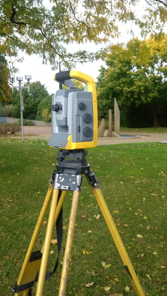
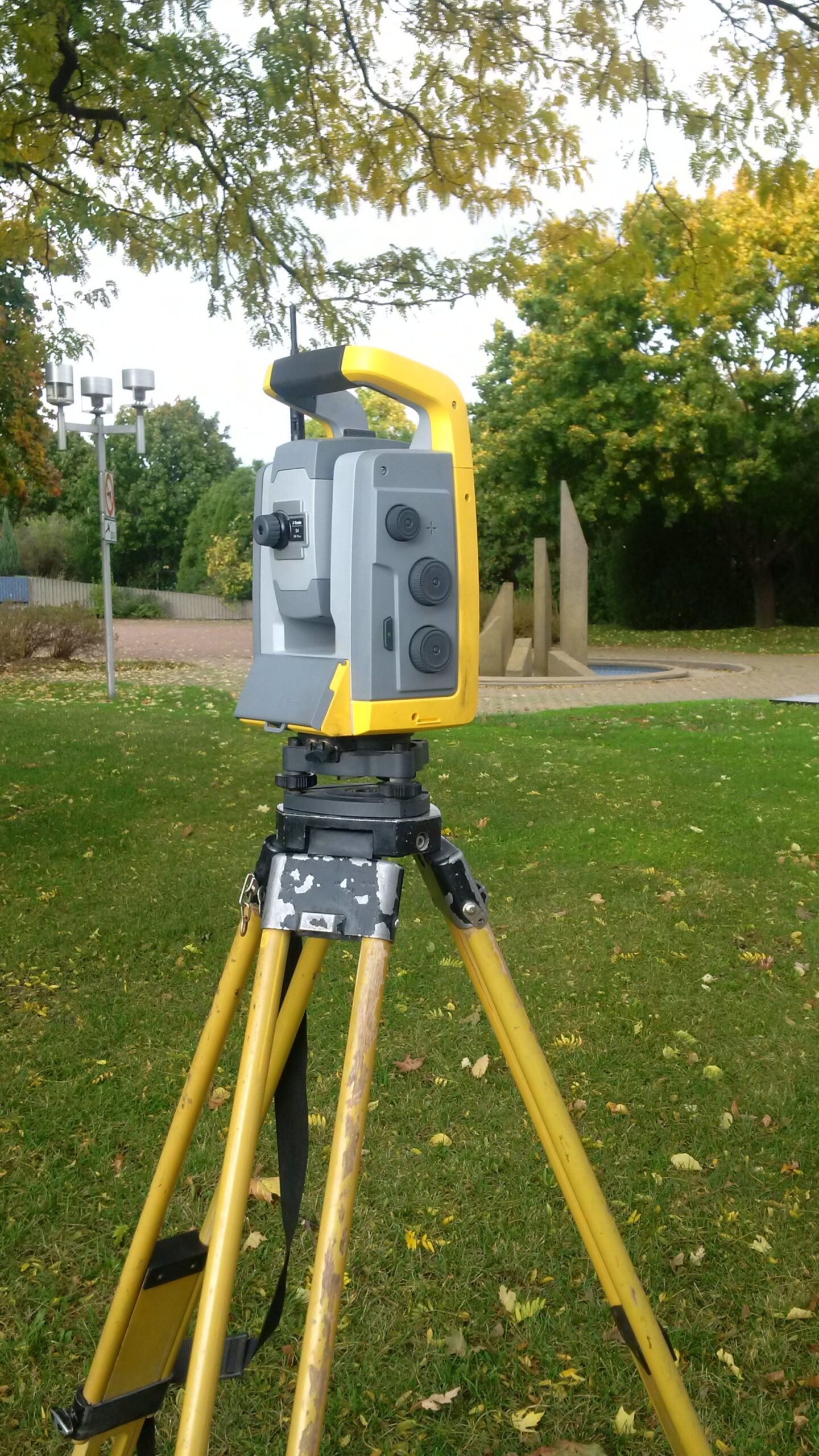
| Surveying technician | Measurements and observations used in surveys | Collecting field data, locating markers and recording distances or elevations |
| Mapping or GIS technician | Geographic data and usable maps | Updating datasets, processing source information and checking map completeness |
| Environmental science and protection technician | Evidence about environmental conditions | Collecting samples, recording test data and supporting pollution investigations |
Surveying and mapping technicians generally support surveyors, engineers, cartographers or photogrammetrists. Environmental technicians may work under scientists, engineers or other specialists. The table describes occupational duties, not a promise that every employer assigns all of them. (onetonline.org)
Read the verbs in an advertisement. Measure, set up and collect suggest field acquisition. Edit, digitize and maintain databases suggest mapping production. Sample, monitor and document test results suggest environmental work.
Also check who reviews the work. A technician position is not automatically a licensed-surveyor role or an environmental-scientist position.
2. Picture three illustrative workdays
These examples combine published duties into hypothetical days. They are not accounts of particular employees, and they do not establish a universal schedule.
Surveying: You prepare equipment with the crew, travel to a project site and assist with measurements under senior staff. You record notes and observations, then help transfer the collected data for office processing. Salem’s published survey position includes field coordination, notes, sketches, photographs, electronic-data management and equipment care. (governmentjobs.com)
Mapping or GIS: You review a request, research the source records and update geographic features and their associated information. You prepare a map or dataset for review and resolve questions about the records. Harrisonburg’s GIS Technician–Addressing specification includes maintaining GIS layers, researching deeds and interpreting plans; it also includes fieldwork, so this is not necessarily a desk-only path. (governmentjobs.com)
Environmental: You prepare for an assigned monitoring visit, collect authorized samples and record the required observations. Later, you organize test data or contribute to reports under the project’s procedures. O*NET identifies sampling, recording results and preparing summaries as relevant duties. (onetonline.org)
Ask yourself which activity you would still find worthwhile when it becomes repetitive: making measurements, maintaining geographic records or documenting environmental conditions. That question is more useful than simply asking whether you like being outdoors.

3. Separate typical entry paths from hiring requirements
The Bureau of Labor Statistics identifies a high school diploma as the typical entry education for surveying and mapping technicians. Additional education or GIS experience may help, and technicians often learn under experienced staff on the job. (bls.gov)
That does not mean every advertisement accepts applicants without experience. Salem’s 2026 recruitment distinguished Technician I from Technician II: the first allowed a high school diploma, GED or demonstrated progressive field experience, while the second listed more extensive education, experience and certification requirements. That recruitment closed on March 15, 2026; it is an example, not a current vacancy. (governmentjobs.com)
For environmental science and protection technicians, BLS describes an associate’s degree as typical. Depending on the position, education requirements range from a high school diploma to a bachelor’s degree. (bls.gov)
GIS employers can also set requirements above the broad occupational baseline. Harrisonburg’s published specification lists an associate’s or technical degree in a relevant subject and minimal relevant experience, or an equivalent combination. (governmentjobs.com)
Before paying for training:
- Collect several advertisements within your realistic commuting or travel area.
- Separate required, preferred and provided after hiring qualifications.
- Identify repeated gaps rather than reacting to one unusually demanding listing.
- Ask whether coursework, practical projects or related work experience can satisfy an equivalent-experience route.
- Confirm which credentials must already be held when applying.
A course can address a skill gap. It cannot guarantee that an employer will accept your application.
4. Check the field–office balance, travel and physical conditions
There is no dependable field-time percentage attached to these titles.
BLS notes that surveying and mapping fieldwork can involve adverse weather, long distances, rough terrain and carrying equipment. Some assignments require long-distance travel or temporary relocation near the site. (bls.gov)
Environmental science and protection technicians work across offices, laboratories and field locations. Field assignments may involve industrial sites, adverse weather, prolonged standing, equipment carrying and protective gear. Travel can also mean nonstandard hours. (bls.gov)
“Outdoors” does not necessarily mean a quiet natural setting. Anaheim’s 2026 Survey Technician I description specifically discussed survey sites amid heavy traffic or construction. That recruitment closed on April 28, 2026. (governmentjobs.com)
Ask for the practical details:
- How much time is spent collecting data, driving, processing records and writing?
- Are projects local, regional or nationwide?
- How often are overnight stays required?
- What terrain, carrying demands and weather exposure are normal?
- Is work performed with a crew, independently or both?
- What training, protective equipment and supervision are provided?
If a requirement is unclear, ask about the actual essential tasks and available accommodations rather than guessing from a vague phrase such as “physically demanding.”
5. Use employer descriptions to test your assumptions
Descriptions available during research on October 6, 2026 show why occupational averages cannot replace job-specific reading.
A combined construction and survey role: Wyoming DOT’s Construction and Field Survey Technician advertisement, posted September 29, 2026, includes surveying, inspections and materials testing. It lists an associate’s degree with specified experience, or an experience substitution. Someone seeking only survey measurements should investigate how much of the assignment involves the other duties. (governmentjobs.com)
A specialized GIS role: Harrisonburg’s GIS Technician–Addressing classification centers on addresses, records, geographic layers and related research. Its qualification route includes relevant technical education or an equivalent combination—not merely enthusiasm for maps. A classification specification describes a job category; it does not prove there is an open vacancy. (governmentjobs.com)
An outdoor-heavy environmental role: Converse Consultants’ published Las Vegas description states that 90% of the position’s time is outdoors. It lists relevant experience and groundwater, soil and vapor sampling experience, while marking certain credentials as preferred. That percentage belongs to this description, not the environmental occupation generally. (converseconsultants.com)
The practical lesson: underline duties that surprise you. Those are the subjects to clarify before an interview or offer decision.
6. Read pay and outlook figures in context
The BLS profiles available during research reported:
| BLS occupation | Median annual wage, May 2025 | Projected employment growth, 2025–2035 |
|---|---|---|
| Surveying and mapping technicians | $54,240 | 6% |
| Environmental science and protection technicians | $55,090 | 7% |
BLS combines surveying and mapping technicians in this comparison; these figures do not provide a separate national GIS-technician median. A median is the midpoint of wages across the occupation, not an entry-level offer. Growth projections are national estimates, not guarantees of local hiring. (bls.gov)
For an actual offer, compare the full arrangement: base pay, expected hours, overtime policy, benefits, travel-time treatment, overnight expenses and employment duration. Ask how weather delays and project gaps affect the schedule.
Do not choose between these paths on the small difference between the two national medians. Your local options and the specific working arrangement deserve closer attention.
7. Apply a role-selection checklist
Use this as a shortlisting tool, not a scored aptitude test.
Start with surveying if you want to investigate:
- Measurement tasks and field instruments.
- Crew-based work with clear technical procedures.
- A route that may begin with employer training.
Start with mapping or GIS if you want to investigate:
- Geographic records, databases and digital maps.
- Detailed computer work and checking source information.
- Positions with a manageable, clearly stated field component.
Start with environmental work if you want to investigate:
- Sampling, monitoring and scientific documentation.
- Work supporting investigations of environmental conditions.
- Roles whose education and task-specific training you can meet.
These directions reflect the published occupational tasks and entry paths; your shortlist still needs checking against employers. (onetonline.org)
Worked decision example: Suppose you have a high school diploma, enjoy measurement tasks and cannot regularly stay away overnight. Your first search might target local survey-assistant or trainee positions. Do not discard GIS permanently, but check its software and education requirements separately. Do not assume an environmental technician title offers a high-school-entry route.
Create a comparison sheet with columns for duties, mandatory qualifications, training, travel, schedule and unanswered questions. Mark missing information unknown, not “probably acceptable.” Eliminate an opportunity only after confirming a genuine non-negotiable mismatch.
8. Ask better questions and avoid common mistakes
Before accepting a role, ask:
- What would a new hire actually do during the first few months?
- Who provides training and reviews my work?
- Which skills are expected on day one?
- What does the busiest period look like for hours and travel?
- Which safety training and equipment are supplied before assignment?
- What skills would qualify me for the next role, and are those opportunities available here?
Avoid these common mistakes:
- Treating “technician” as synonymous with beginner. Salem’s two levels had different requirements. Read the minimum qualifications, not just the title. (governmentjobs.com)
- Assuming all GIS work is indoors. Harrisonburg’s specification includes fieldwork. Ask for the actual split. (governmentjobs.com)
- Assuming environmental work means wildlife or conservation. The occupation compared here includes pollution monitoring and testing. Match your interests to the duties. (onetonline.org)
- Buying credentials before checking demand. First establish what your target employers require and what they provide.
- Ignoring documentation. Measurements and samples are only part of the assignment; records and usable data matter too. (onetonline.org)
Your next step is to choose two plausible directions, compare real descriptions and investigate the unanswered questions. Choose the work and conditions you can sustain—not the most appealing title.